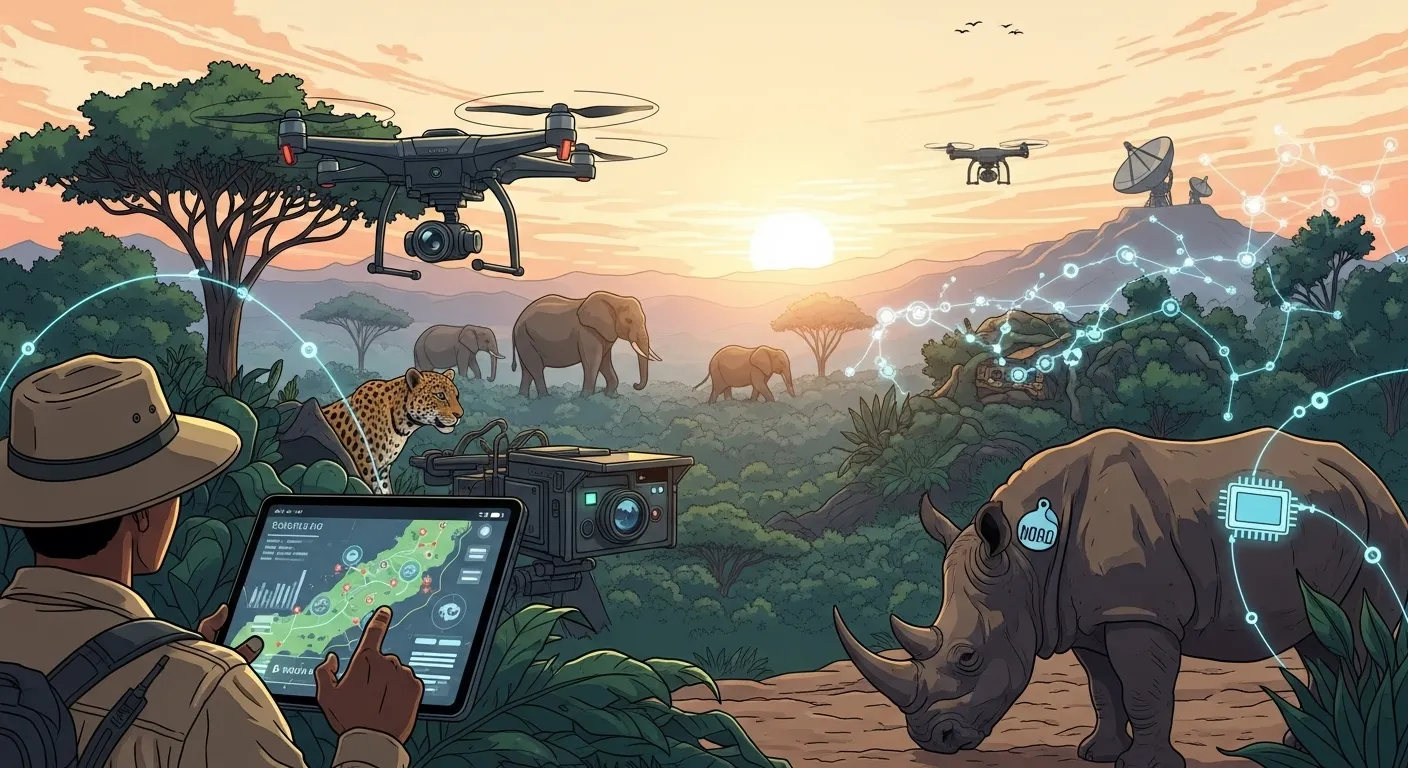
In an era where the planet's biodiversity faces unprecedented threats, from habitat loss and climate change to illegal poaching, the fight to protect our world's wildlife has become more critical than ever. Traditional conservation methods, while foundational, are often stretched thin against these mounting pressures. However, a new wave of innovation is sweeping through the field, offering a powerful arsenal of tools to safeguard endangered species and their ecosystems. This article explores in depth how technology is helping wildlife conservation, transforming it from a reactive practice into a proactive, data-driven science. We will delve into the revolutionary impact of everything from eyes in the sky to the invisible clues left in the environment, showcasing a future where innovation and nature work hand in hand. The Eyes in the Sky: Drones and Satellite Imagery The ability to see the big picture has always been a cornerstone of effective conservation. For decades, this meant expensive and often infrequent aerial surveys by plane or helicopter. Today, the advent of unmanned aerial vehicles (UAVs), or drones, and high-resolution satellite imagery has democratized aerial surveillance, providing conservationists with unprecedented access to real-time, high-quality data. This bird's-eye view is no longer a luxury but an essential tool for monitoring vast and often inaccessible terrains, from dense rainforests to expansive marine protected areas. These aerial technologies serve multiple crucial functions. They enable precise mapping of habitats, allowing scientists to track deforestation, desertification, and the impacts of climate change with incredible accuracy. For anti-poaching units, drones equipped with thermal cameras can patrol protected areas at night, detecting poachers who operate under the cover of darkness. Furthermore, they are used for conducting animal censuses, offering a safer, less intrusive, and often more accurate way to count populations of large animals like elephants, rhinos, and wildebeest, providing vital data for population management strategies. The synergy between drones and satellite imagery creates a comprehensive monitoring system. While satellites provide the broad, long-term context of landscape-level changes, drones offer the granular, on-demand detail needed for immediate action. A satellite might flag an area of recent deforestation, and a drone can then be deployed to investigate the cause, identify illegal logging activities, or assess the immediate impact on local wildlife. This multi-layered approach empowers conservation teams to be more strategic, efficient, and responsive to threats as they emerge. #### Drones: The Agile Guardians Drones have evolved into versatile platforms far beyond simple aerial photography. Modern conservation drones are equipped with a suite of sensors, including high-resolution RGB cameras, LiDAR (Light Detection and Ranging) for creating detailed 3D maps of forest canopies, and thermal imaging cameras. The latter is a game-changer for anti-poaching efforts. Ranger patrols, which are often dangerous and limited by manpower, can now be augmented by drones that silently scan huge territories for heat signatures, distinguishing between animals and humans and alerting ground teams to potential threats in real-time. Despite their immense potential, the deployment of drones is not without its challenges. The initial cost of high-end equipment, the need for skilled pilots and data analysts, regulatory hurdles in many countries, and limitations like battery life and weather dependency are all significant considerations. However, as the technology becomes more affordable and user-friendly, and as specific conservation-focused drone solutions are developed, their role is set to expand, making them an indispensable part of the modern conservationist's toolkit. #### Satellite Imagery: The Big Picture Perspective Satellite remote sensing provides a perspective that is impossible to achieve from the ground. By analyzing images captured over weeks, months, and years, scientists can monitor the health of entire ecosystems. For instance, using indices like the Normalized Difference Vegetation Index (NDVI), they can measure forest health and detect areas under stress from drought or disease. This long-term monitoring is crucial for understanding the cumulative impacts of human activity and climate change. Organizations like Global Forest Watch use satellite data to provide near-real-time alerts on deforestation, empowering authorities and local communities to take action against illegal logging. In marine conservation, satellite imagery is used to track sea surface temperatures, monitor coral bleaching events, and even detect illegal fishing vessels that have turned off their standard tracking systems. For species like polar bears, satellite images of sea ice are essential for predicting how their hunting grounds are shrinking, providing critical data to inform climate policy and conservation strategies. Data-Driven Decisions: AI and Machine Learning The explosion of data from drones, camera traps, GPS collars, and satellites presents both an opportunity and a challenge. Manually sifting through millions of images or data points is an impossible task for already over-stretched conservation teams. This is where Artificial Intelligence (AI) and machine learning come in, acting as a powerful brain to process and interpret this "big data." AI algorithms can be trained to perform complex tasks in a fraction of the time it would take a human, bringing a new level of efficiency and insight to wildlife protection. AI is not just about speed; it's about depth of analysis. Machine learning models can identify subtle patterns in animal behavior, habitat use, and poaching activities that might be missed by the human eye. This allows for the development of predictive models, which can forecast where poaching is most likely to occur or which habitats will become unsuitable for a particular species in the future. This shift from reactive monitoring to proactive, predictive conservation is one of the most significant transformations driven by technology. By automating the mundane and empowering deeper analysis, AI frees up conservationists to focus on what they do best: implementing on-the-ground strategies, engaging with communities, and making informed policy decisions. The technology acts as a force multiplier, amplifying the impact of every dollar spent and every hour worked in the service of wildlife. #### Artificial Intelligence in Species Recognition One of the most immediate applications of AI is in analyzing the data from camera traps. These motion-activated cameras are a cornerstone of wildlife research, but they can generate hundreds of thousands of images, many of which may be empty